30 Jul 2015
White Pass
Yesterday was time for another day trip, this time along SR-410, SR-123, and US-12 between Tacoma and Yakima.
I'd driven on parts of this loop before, but not all of it.
It's a really beautiful drive, including a stop at this waterfall (there's more of it upstream that is blocked by trees)
And Rimrock lake, a reservoir of the Tieton Dam. It's really stunningly beautiful with very blue water and trees and hills all around.
This is a volcanic formation—the less durable rock has eroded away over time, leaving this rock outcropping.
The weather was probably perfect for swimming, if slightly cool (while over 80 degrees in the lower elevations, it was nearer 75 here), but nobody was in sight.
Views like this are plentiful.
There were a few volcanic formations like this with crystalline columns formed from the lava cooling faster on the outside.
Nearing the intersection of US-12 and SR-410
A view of Mount Rainier/Tahoma from Tipsoo Lake.
Sunset over the Olympic Mountains on the way back.
29 Jul 2015
17 Jul 2015
Deep typewriter dreams
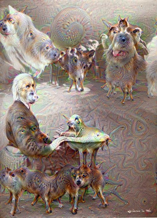
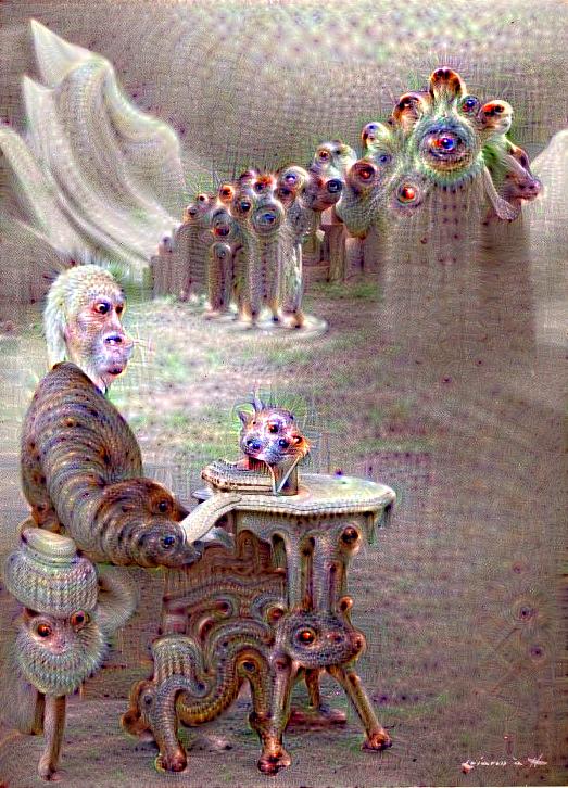
What in the world? What's happened to that beloved picture of Sholes liberating the women of the world that we all love so dearly?
DeepDream is one of those crazy and wonderful things that you had no idea would ever be created, but now that it has been, it seems like the most natural and essential thing. Google gets one more point on the love side of my love/hate opinion.
It's not my job to explain how or why. This SciShow video does a much better job at that. You should also look at this video which has been processed the same way.
Anyway, the reason why there's dogs appearing everywhere is because the DeepDream system was tested out expensively on recognizing dogs in images. So any time something in an image looks a bit like a dog to DeepDream, it draws us a dog there.
DeepDream isn't only useful for creating trippy dog-laden images, though. It can also be used to create some really lovely artistic effects better than any Photoshop filter ever could.
This classic Sholes image turned out to be very good fuel for DeepDream's interesting effects.
I created all of the images in this post using Dreamscope. The output quality is unfortunately not that great, but this service creates them in a matter of seconds, rather than others which have queues that are over 24 hours long.
I also have tried it out on a couple typewriters of mine.
I have to say, the "trippy" effect has to be my favorite one. It's just so weird. And unpredictable, at first, until you start to recognize what cues tend to bring out the weird.
This is supposed to be a little child typing at an Erika 10.
This is created from what has to be my favorite ebay listing image for a typewriter ever.
Sometimes the artistic effects are really quite beautiful and turn out works of art.
And sometimes you just.... I don't know. I have no idea. But I love it.
Create your own.
Labels:
art,
DeepDream,
google,
photos,
psychedelic,
trippy,
typewriters
12 Jul 2015
Experience Proper Awesome
This post is long overdue. But I couldn't forget to teach you how to Experience Proper Awesome, could I? In Canada, things aren't just awesome. They're proper awesome, according to Parks Canada. I'm inclined to agree because British Columbia is my favorite place on the continent.
Here is a map of our May 2015 trip.
The new territory began near Bellingham, WA. Here is a view of Mount Garibaldi (BC) from Everson, WA.
Some sky, hills, a train, and a field.
There were Tesla charging stations in Kamloops, BC—the Trans-Canada highway is the longest road you can drive in a Tesla.
Further along on a 1-lane bridge over the Thompson River.
I think these are the Inverness Peaks.
We saw them near the Revelstoke Dam.
This is the monument to the opening of the Trans-Canada Highway in 1962.
A view of part of the seemingly endless Canadian Rockies.
This is the aptly named Reflection Lake, south of Golden, BC. British Columbia has several mountain ranges with lakes and rivers running in the valleys between.
Wapta Falls is at the end of an easy hike in Yoho National Park.
Castle Mountain really looks like a castle.
Pilot Mountain, AB, is probably my favorite mountain now...
Isn't it a wonderful place?
There were some bighorn sheep near Castle Mountain. At this place, the 2-lane road splits into two separate 1-lane roads.
Nelson is one of the nicest small towns in the world. Population 9980, but with more culture than the whole of Calgary. (I suppose you know how I feel about rodeo)
Nearing the BC/WA border again at Blueberry Creek, BC.
Back in the home state amongst the fields of grain in Wilbur, WA.
I always liked these desolate ruler-straight roads.
More topographic texture at Coulee Dam, WA.
Looking backwards from the same place.
Dry Falls of the Grand Coulee, once the world's largest waterfall.
One of the coulees running across Washington. They were carved by the rushing waters when ancient Lake Missoula emptied.
I didn't take as many photos on this trip as usual, since we've been taking more videos. But I think this covered most of the interesting points on our road trip.
30 Jun 2015
Mapmaking
Earlier this month, I posted on the map I created from the sketch I made while spending the afternoon outside. While those outside activities have had to be curtailed due to a stretch of uncomfortably hot weather (to anybody from the south this is going to sound silly, but it's been in the mid-80s [~30°C] for the past 2 weeks) I've continued creating maps of places both fictional and real.
This was done in black pen on a 5" x 8" Rhodia pad. It's some of the best paper for fine pen work, though if you're sloppy, it can sometimes smear a little. I scanned it in and colored it digitally to simulate a 3-color printing process. The area is loosely based on northwestern Michigan.
This map was created in the same way as the previous one, except it was based on central Nova Scotia. I used Sakura Micron pens for these two. Click to enlarge.
And this is a full-color (9 colors, to be exact) map of southwest Michigan, done with Sakura Micron (black) and Marvy Le Pen (colors). It's accurate for driving with and nothing on it is fictional, unlike with the others. Errors are therefore less forgiving because I can't just imagine a road or a differently-named city.
This gif shows the process of creating a black and white map of a fictional place.
1. Sketched out the coastline and major cities, and connected those with main roads and added small towns and county borders.
2. Added minor roads and sketched the names for major cities. Added highway shields to main roads.
3. Inked main roads and highway shields, adding road numbers.
4. Inked major city names and filled in the main road patterns denoting highway surface. (you'll notice here that I smeared the ink on the highway above White Cloud, the first error I made)
5. Inked small town names, then the coastline and water features. (my second mistake was inking a minor road near White Cloud as a river)
6. Added decorative lines to coastline and lakes, and inked county lines. Fixed both mistakes by turning the smudge into a minor road and re-routing the river. (this is why I like creating fictional maps based on reality rather than maps of real places!)
7. Inked minor roads, added hills, and added compass and title. Erased pencil sketch.
8. Scanned and colored digitally.
I just got this new old stock Berol RapiDesign general mapping stencil which will help out a lot!
Subscribe to:
Posts (Atom)